Lapping Luang Namtha
“Where are you taking me this time?” I asked Somsavath at Luang Namtha’s airport. The year … 2012.
I’ve toured with Somsavath, who runs Phou Iu Travel, several times. He is forever digging deeper into the mountains of Laos’ northwestern-most province. His itineraries make “off the beaten track” look like Main Street.
“We’re trying something new.” Somsavath’s version of “something new” is like sailing with Magellan. “We’re going to circle Luang Namtha, and visit all five district centres.”

The inside track
A long term resident of Laos, Bernie Rosenbloom brings more than 20 years of experience in copywriting and journalism to the Lao travel & tourism trade as Co-founder and Director of WeAreLao.com.
The map showed roads south to Nalae and west to Vieng Phouka, and then just mountains before Long Town overlooking the Mekong. Somsavath hustled the 4WD pickup over a 75-km twisty, bumpy dirt road that followed the Nam Tha River to Nalae Town and a bed.
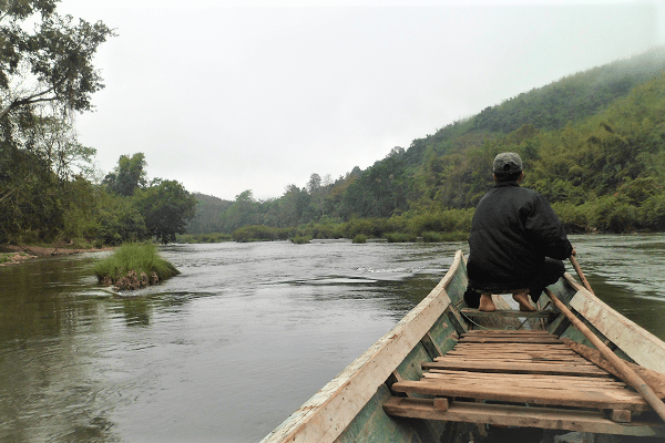
Thoughts of my impending rollercoaster ride vanished the next morning at the riverside. We joined boatmen, huddled around a fire, cooking fish. Somsavath worked a deal for a 90-minute longboat cruise to Khone Kham, a pleasant side trip along the Nam Ha National Protected Area.
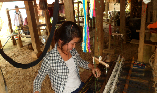
A small party welcomed us to the 100-year-old Tai Lue village. The community’s stilted houses climbed a cobblestone-layered hill, with women weaving under many homes. A simple riverside tourist lodge overlooked rapids.
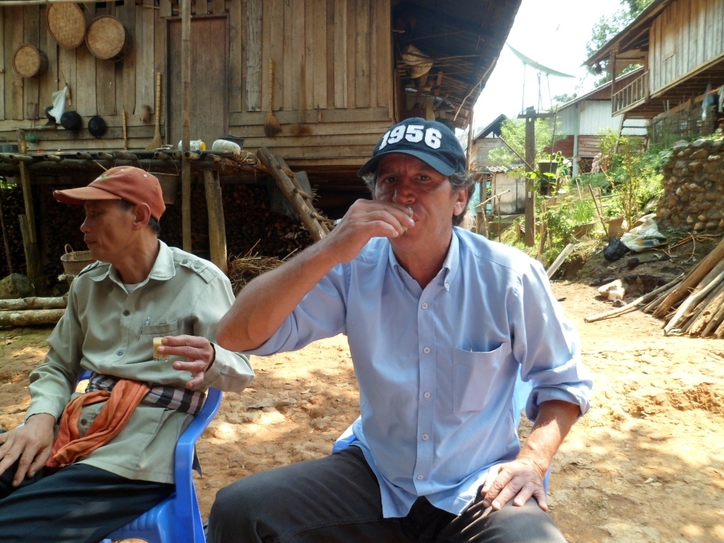
I soon discovered the village distils lao khao rice alcohol. An elder said, “One for a greeting, and more to relax.” He mixed the moonshine with Coke and wild chicken eggs. After a few, we moved on.
The 76-km drive to Vieng Phouka started deceptively smooth. We passed Khmu villages, and eyed the approaching mountains. Potholes deepened as the dirt road started traversing the monoliths. We reached Vieng Phouka at 19:00.
After dinner, Somsavath scoured the town to discover if the road went all 84 km to Long Town. “Half said, ‘Yes,’ and half said, ‘No,’” We decided to go for it …
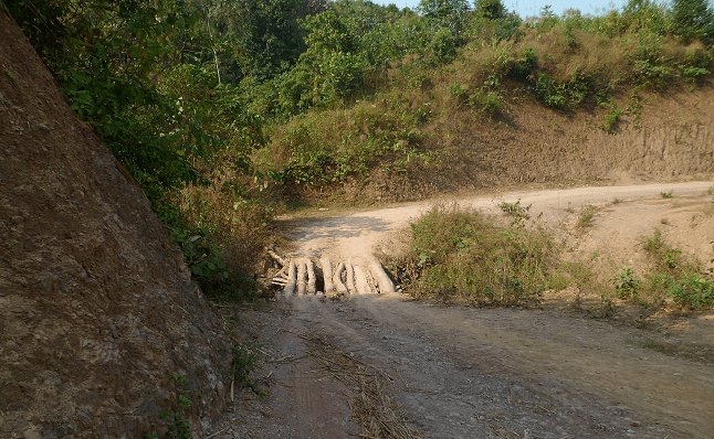
… and immediately got lost. A wrong choice at a “Y” in the rut-filled trail was heading to a dead end. We met a hunter 30 minutes in; he set us straight. We tried again, and though the road resembled a cart path, Somsavath recognised some of the villages.
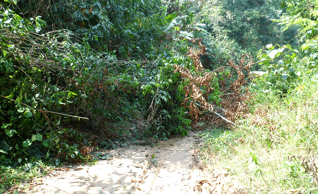
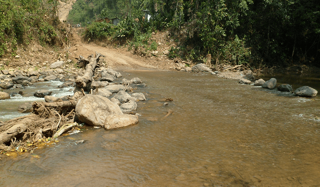
We crossed rivers via bamboo bridges. A broken tree blocked the way, but I managed to pull it back enough for him to pass. We finally reached Long at 15:00.
We could have continued on Route 17B North for 45 km to Sing Town, the fifth and final destination. But Somsavath insisted on the Xieng Kaeng Region for sunset over the Mekong and Myanmar’s mountains.
The trail crossed rivers and passed pointed peaks. We hit series of switchbacks, and the road ruts grew deeper.
We made it to the 1,800-metre-high viewpoint just as the sun hit the hazy horizon, a victim of slash and burn. Baw pen nyang (never mind), we agreed, and closed the day with the 36-km downhill run to Sing.
The next day’s 40-km drive on a paved road to Luang Namtha Town was a walk in the park. Mission accomplished. We had lapped Luang Namtha, though the trip hasn’t made Pho Iu’s tour board … yet.
Where is this?
To really explore the underbelly of Luang Namtha, drop Somsavath a line:
Phou Iu Travel & Ecotourism
Phonexay Village, Luang Namtha, Postal Code: 03000, Laos
Tel: +856 – 20-2881 9198 | E‑mail: [email protected]


